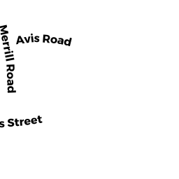
12 MERRILL RD
Owner Information
BERRETT WALTER F
12 MERRILL ROAD
SAUGUS, MA 01906


Property Details
12 MERRILL RD is classified as a Single Family Residential (Cape).
The primary structure on this property was built in 1978. There are 1,668ft2 of built area within this property. There is 1,668ft2 of residential/living space within this property. This property is listed as having 6 rooms.
12 MERRILL RD is valued at $466,000. The land is valued at $222,000 and the structures are valued at $243,600. There is an additional valuation of $400 on this property.
The most recent deed for 12 MERRILL RD is recorded at the local registrar in Book 6525, Page 432. 12 MERRILL RD was last sold on Tuesday, October 10, 1978 for $1.
Assessment data from fiscal year 2022.
Flood Data
According to the FEMA National Flood Hazard Layer, this property does not appear to be in a flood zone. It may also be in an area not yet reviewed. Nonetheless, confirm this information prior to taking any action.
To view the flood hazards around this property, create a FEMA "Firmette" Map of the area around 12 MERRILL RD.
Broadband Internet Providers
| Provider | Type | Bandwidth (mbps) | |
|---|---|---|---|
| T-Mobile | Fixed Wireless | 25 | 3 |
| GCI Communication Corp. | Satellite | 0 | 0 |
| VSAT Systems, LLC. | Satellite | 2 | 1 |
| HughesNet | Satellite | 25 | 3 |
| Viasat Inc | Satellite | 100 | 3 |
| Verizon New England Inc. | DSL | 5 | 0 |
| Comcast | Cable | 1000 | 35 |
Broadband service provider data from December 2020.
Adjacent Properties
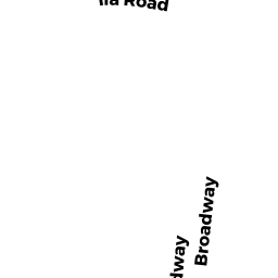
- 70 76 BROADWAY
Mixed Use (Primarily Commercial, some Residential) owned by 74 BROADWAY LLC - 34 HAWKES ST
Single Family Residential owned by DEALY ALEXA - 0 HAWKES ST
Undevelopable Residential Land owned by DEALY ALEXA - 0 HAWKES ST
Undevelopable Residential Land owned by CONCORD PROPERTY MANAGEMENT - 14 MERRILL RD
Single Family Residential owned by PHILLIPS LISA B - 28 HAWKES ST
Single Family Residential owned by SANTIAGO, WILLIAM JR.